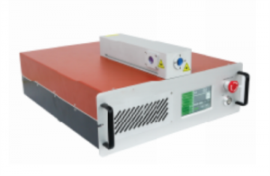
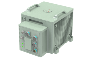
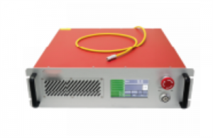
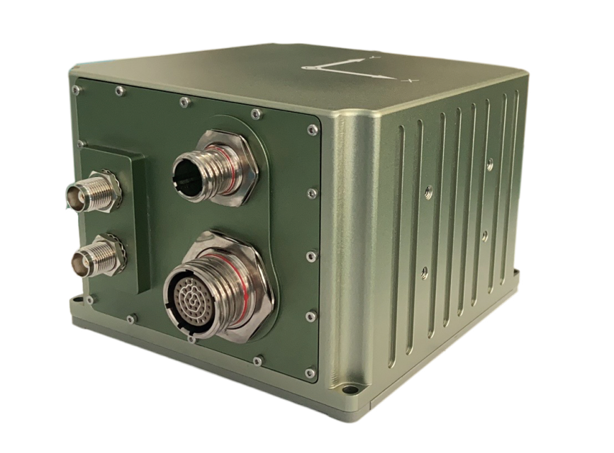
Type 70 Fiber Strapdown Inertial Navigation System
Product description
FS70 Fiber Optic Integrated Navigation System, a state-of-the-art solution that seamlessly combines cost-effectiveness and exceptional performance. This cutting-edge system is built upon a closed-loop fiber optic gyroscope, accelerometer, and a high-end GNSS receiving board, ensuring precise and reliable measurements.
By employing advanced multi-sensor fusion and navigation algorithms, the FS70 system achieves unparalleled accuracy in measuring attitude, heading, and position information. It is specifically designed to cater to the stringent requirements of medium to high precision mobile measurement systems, large unmanned aerial vehicles (UAVs), and various other applications.
With the FS70 Fiber Optic Integrated Navigation System, you can unlock new levels of precision and reliability in your operations. Its versatile nature and seamless integration make it an indispensable tool for industries such as surveying, mapping, remote sensing, and more.
Experience the future of navigation technology with the FS70 Fiber Optic Integrated Navigation System and elevate your performance to new heights.
MAIN FUNCTION
The system features a combined inertial/satellite navigation mode as well as a pure inertial mode.
In the integrated inertial/satellite navigation mode, the GNSS receiver captures satellite positioning information which can be utilized for integrated navigation. This mode outputs carrier pitch, roll, heading, position, speed, and time information. In the event of a signal loss, the inertia-calculated position, velocity and attitude are output. The pitch and roll require precise calibration with a short-term course holding function and can achieve meter-level positioning accuracy within a short time.
The pure inertial mode (that is, GPS fusion has never been carried out after power-on, and if it loses lock again after fusion, it belongs to integrated navigation mode) possesses an accurate attitude measurement function and can output pitch, roll, and heading. Pure inertia can perform static north searching.
PERFORMANCE INDEX
|
Parameter |
Technical index |
||
|
Position accuracy |
Single point (RMS) |
1.2m |
|
|
RTK(RMS) |
2cm+1ppm |
||
|
Post-processing (RMS) |
1cm+1ppm |
||
|
Loss of lock accuracy (CEP) |
10m, lose lock 30s (Alignment efficiency) |
||
|
Course (RMS) |
Single antenna |
0.1° (Vehicle conditions, need to maneuver) |
|
|
Double antenna |
0.1° (baseline ≥2m) |
||
|
post-processing |
0.02° |
||
|
Loss of lock hold accuracy |
0.5°, lose lock for 30 minutes |
||
|
Self-seeking north accuracy |
At 1°SecL, align for 15min (Double position alignment, course difference between the two positions is greater than 90 degrees) |
||
|
Attitude (RMS) |
Single antenna |
0.02° |
|
|
Double antenna |
0.02° |
||
|
post-processing |
0.015° |
||
|
Loss of lock hold accuracy |
0.5°, lose lock for 30 minutes |
||
|
Horizontal velocity accuracy (RMS) |
0.05m/s |
||
|
Timing accuracy |
20ns |
||
|
Data output frequency |
200Hz (Single output 200Hz) |
||
|
Gyroscope |
Range |
400°/s |
|
|
Zero bias stability |
0.3°/h (10s average) |
||
|
Scale factor Nonlinearity |
100ppm |
||
|
Angular random walk |
0.05°/√hr |
||
|
Accelerometer |
Range |
16g |
|
|
Zero bias stability |
50ug (10s average) |
||
|
Scale factor Nonlinearity |
100ppm |
||
|
Velocity random walk |
0.01m/s/√hr |
||
|
Physical dimensions and electrical characteristics |
Overall dimension |
138.5 mm×136.5 mm×102mm |
|
|
Weight |
<2.7kg (excluding cable) |
||
|
Input voltage |
12~36VDC |
||
|
Power consumption |
<24W (steady state) |
||
|
Storage |
Rreserve |
||
|
Environmental index |
Operating temperature |
-40℃~+60℃ |
|
|
Storage temperature |
-45℃~+70℃ |
||
|
Random vibration |
6.06g,20Hz~2000Hz |
||
|
MTBF |
30000h |
||
|
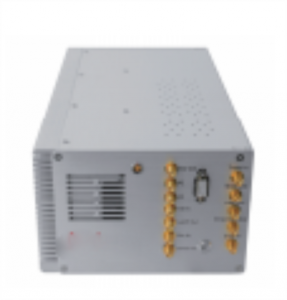
Interface characteristic |
PPS, EVENT, RS232, RS422, CAN (Optional) |
||
|
Network port (Reserved) |
|||
|
Antenna interface |
|||
|
Wheel speed sensor interface |
|||